Total Area- 56,594 sq km
Land Area- 55,974 sq km
Water Area- 620 sq km
Size Comparative to US Territory- A little bit smaller than West Virginia
Bordering Countries- Bosnia and Herzegovina, Hungary, Montenegro, Serbia, and Slovenia
Total Distance of all Land Boundaries- 2,237 km
Total Distance of Coastline- 5,835 km
- Mainland 1,777 km
- Islands 4,058 km
Description of Climate- The climate consists of Mediterranean and continental and the continental climate is predominant with hot summers and cold winters; mild winters, and dry summers along coast.
Description of terrain- The terrain is geographically diverse including flat plains along the Hungarian border, and low mountains and highlands near the Adriatic coastline and islands.
Point of Lowest Elevation- Adriatic Sea at 0 m
Point of Highest Elevation- Dinara at 1,831 m
Regional Map-

Country Specific Map-

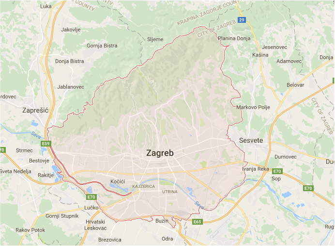
Capital City on Google Maps-

|

|
